Clarksville-Montgomery County Weekend Weather Forecast for April 4th–8th, 2024
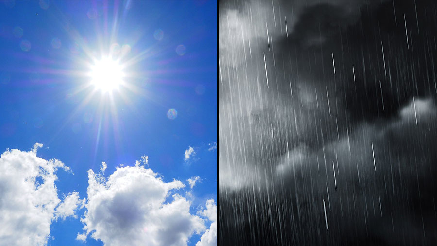
Clarksville, TN - As the week comes to a close in Clarksville-Montgomery County, residents can expect chilly mornings with widespread frost giving way to The weather forecast for April 4th–8th, 2024 in Clarksville-Montgomery County, Tennessee is expected to remain chilly mornings with widespread frost and gradually warming temperatures. However, the weekend brings the possibility of showers and thunderstorms, with temperatures expected to gradually warm and sunny conditions. On Tuesday, there is a 20 percent chance of showers after 2:00pm, with a high near 51°F, and a brisk west-northwest wind at 15 mph, occasionally gusting up to 20 mph. On Saturday, temperatures reached 60°F and the sun took center stage later, with the high expected at 68°F. Showers are likely Sunday night, possibly accompanied by a thunderstorm before 1:00am, and the night remains mostly cloudy. The low temperature will settle at 56°F on Monday.
Published : 4 weeks ago by News Staff in Weather
Clarksville, TN – As the week comes to a close in Clarksville-Montgomery County, residents can expect chilly mornings with widespread frost giving way to gradually warming temperatures and sunny skies.
However, the weekend brings a shift in weather patterns, with the possibility of showers and thunderstorms.
It will be mostly cloudy on Tuesday. There’s a 20 percent chance of showers after 2:00pm, so keep an umbrella handy. Expect a high near 51°F, with a brisk west-northwest wind at 15 mph, occasionally gusting up to 20 mph.
As the night settles in Tuesday, areas of frost develop after 4:00am. The temperature dips to around 34°F, and the northwest wind maintains a gentle pace of 5 to 10 mph.
On Friday morning, widespread frost blankets the landscape, especially before 7:00am. However, the day promises sunshine. Expect a high near 56°F, with a north-northwest wind of 5 to 10 mph.
Frost continues to spread Friday night, mainly after 5:00am. The night sky remains mostly clear, and the temperature hovers around 32°F. The north wind persists at 5 to 10 mph.
Frost lingers Saturday, primarily before 8:00am. But the sun takes center stage later with a delightful high near 60°F, accompanied by a gentle north-northeast breeze at 5 to 10 mph.
The Saturday night sky remains mostly clear, and the temperature settles around 39°F. An east-southeast wind adds a touch of movement at 5 to 10 mph.
Clouds gather Sunday; by early afternoon, there’s a 40 percent chance of showers and thunderstorms. The high temperature climbs to 68°F, with a south-southeast wind at 10 to 15 mph, occasionally gusting higher.
Showers are likely Sunday night, possibly accompanied by a thunderstorm before 1:00am. The night remains mostly cloudy, and the temperature hovers near 54°F. A south wind persists at around 10 mph. The chance of precipitation stands at 70 percent.
Come Monday, there is a slight 20 percent chance of showers after 1:00pm. The sun peeks through the clouds, offering a high near 73°F.
The night sky remains mostly cloudy on Monday, with a 30 percent chance of showers. The low temperature settles around 56°F.
Residents are advised to stay in touch with Clarksville Online, ensuring they are prepared for changing weather conditions throughout the weekend and into the start of the new week.